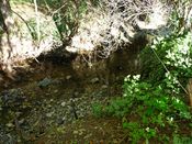
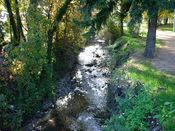
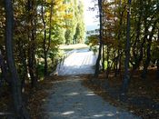
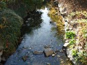
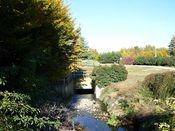
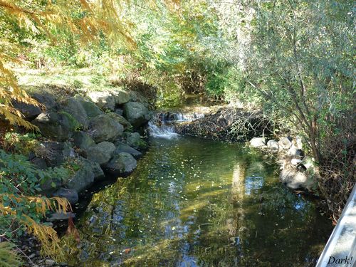
 This small watercourse rises up north Saint-Genès-Champanelle, near Puy de Chantrat, at 900 meters of altitude. Unfortunately, the Artière is partly hidden, like other rivers in Clermont-Ferrand (such as the Tiretaine River and the Bédat River). However, several constructions were made to enhance its course.
The Artière rises near Puy de Chantrat and flows along the “Gorges de Ceyrat”. It then goes to Beaumont where it flows into a canal. This canal was formed by two lava flows – one by the Puy d’Aubière, and the other one, younger, by the Cézeaux plateau. The city of Beaumont is expected to enhance the river watersides, as part of its “Chemin Vert” city plan. The whole project consists in linking the Châtaigneraie district to the Artière sports ground, in following the river until the Pourliat district to reach the Cézeaux Complex finally.
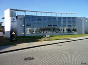
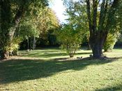
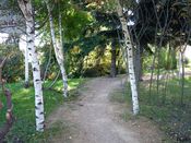
The Artière runs through Aubière and Clermont-Ferrand through the Cézeaux Complex. The photographs you can see above were taken there. The river follows Pascalis – the Clermont technology park. It is named after the famous scientist Blaise Pascal born in Clermont-Ferrand in 1623. This site is devoted to Information and Communication Technologies (ICT). Pascalis had been created in 2001 and has been administered by Clermont Communauté. In 2004, some big societies – IBM and Capgemini, established there.
North East of Clermont-Ferrand, ground gets flat; the Artière River flows slower and goes to the Limagne Plain. After it ran through Aulnat, the Artière meets the Allier River.
Unlike the city of Clermont-Ferrand, in which the rivers are hidden, Aubière is lucky enough to make the most of its open air river.


